
Good Saturday morning, East Tennessee! Thanks for checking in with your local meteorologist at eastTNweather—your all-digital source for hyper-local weather updates across the Plateau, the Valley, the Smoky Mountains, and everywhere in between.
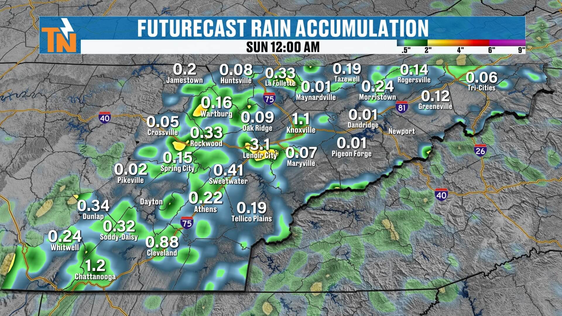
Today, we’re tracking a cold front moving into East Tennessee. It won’t officially slide through until Sunday, but already it’s sparking scattered showers, thunderstorms, and pockets of heavy rainfall across the region. Here’s what you can expect for the weekend and the week ahead.
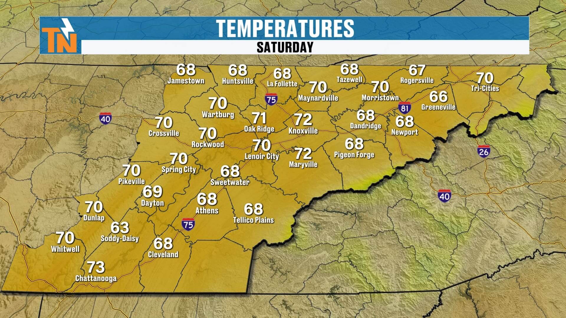
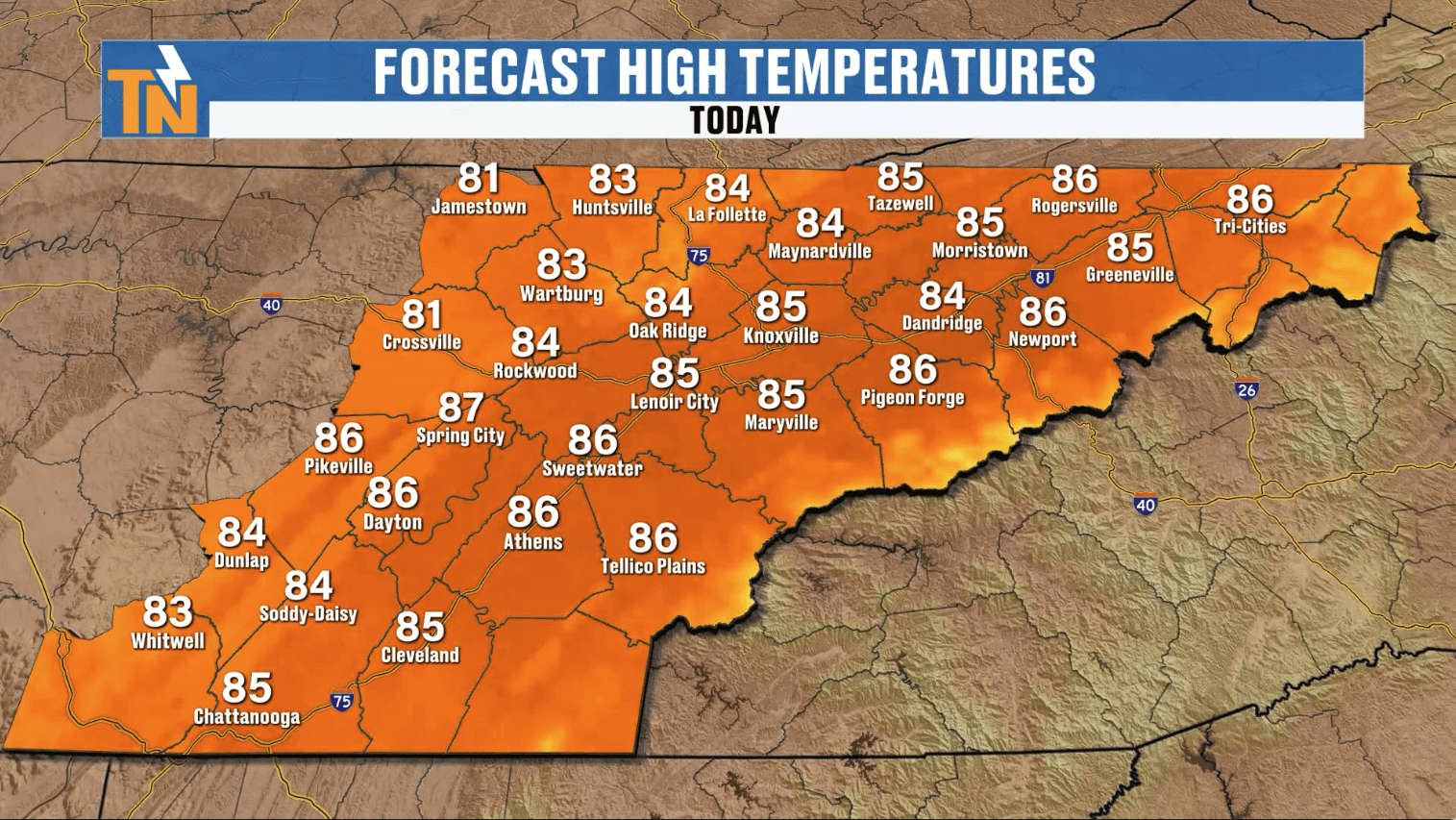
Saturday: Scattered Showers and Storms Develop
-
Morning: Starting off mild and muggy with temps in the upper 60s and 70s. Quiet early on.
-
Afternoon into Evening: Showers and thunderstorms increase after lunch. Some storms may bring locally heavy rain and rumbling thunder—similar to what we saw late Friday night.
-
Flooding Risk: With a water-loaded atmosphere, we do have a Level 1 risk for flash flooding in low-lying areas. Stay weather aware if you’re out this afternoon and evening.

Sunday: A Cold Front Moves Through
-
Morning: A band of showers likely around sunrise through midday as the front sweeps across East Tennessee.
-
Afternoon: Stray showers possible, but most of us will see improving conditions with northwest winds and drier air settling in.
-
Temperatures: Highs in the low to mid-80s before the cooler, more comfortable air takes hold.
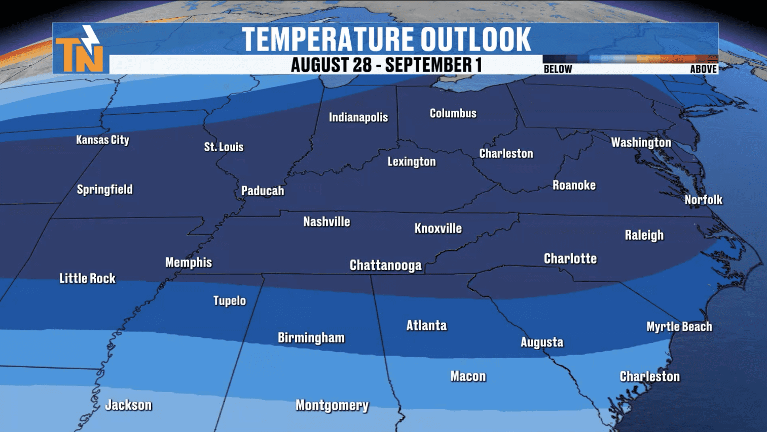
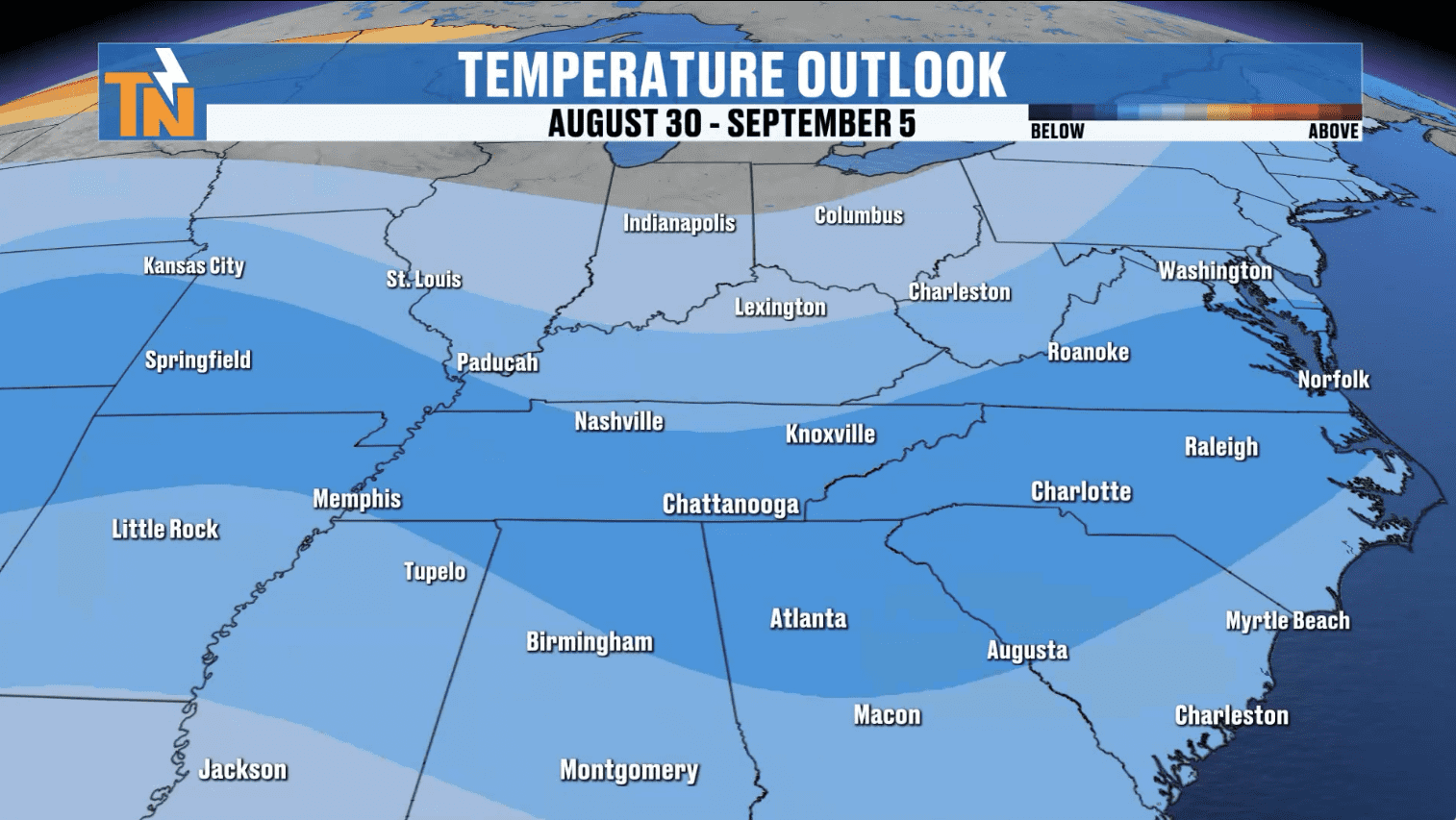
Next Week: False Fall Arrives
If you’re ready for a break from the muggy air—you’ll love this stretch.
-
Highs: Trending 10 degrees below average, in the upper 70s to low 80s.
-
Lows: Dropping into the 50s, and even 40s across the Plateau, Northeast Tennessee, and the Smokies. Perfect hoodie weather for the kids heading to school.
-
Humidity: Dew points tumble starting Monday, giving us that crisp, fall-like feel that lasts much of next week.
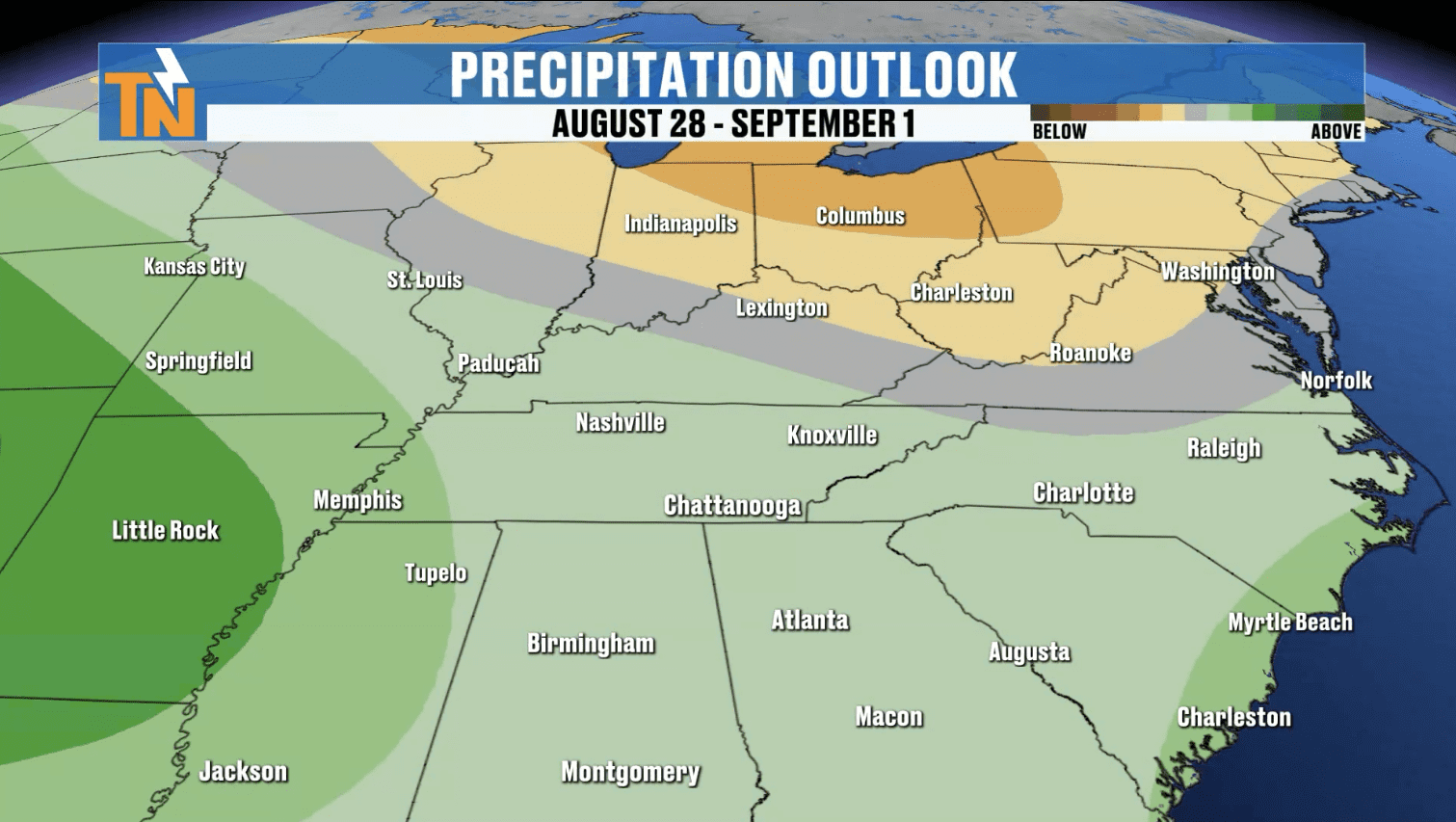
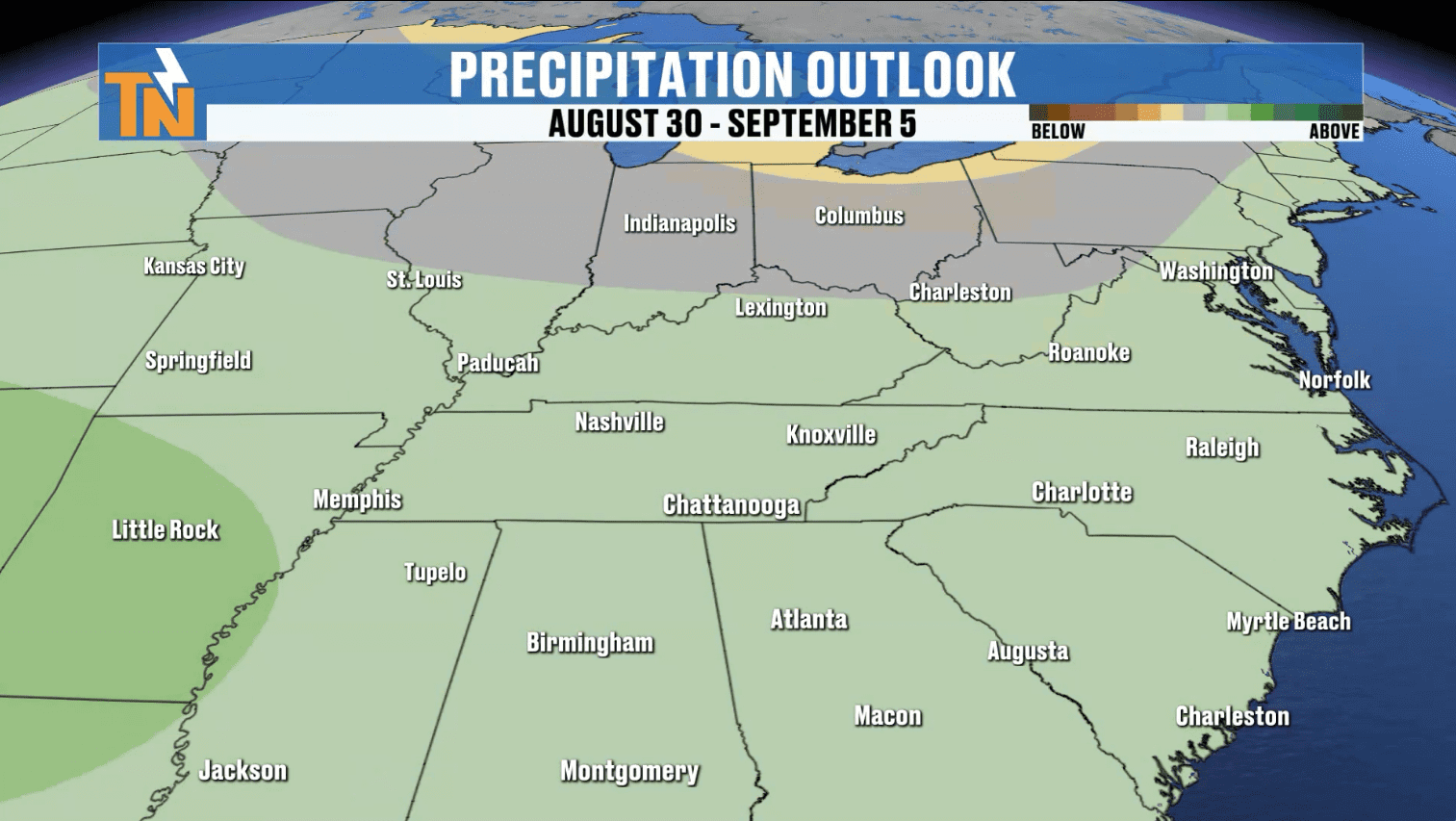
It’s not “real fall” just yet—we’re still in August—but this false fall pattern will make East Tennessee mornings feel refreshingly cool. September may even start off cooler than average if this trend holds.
7-Day Forecast at a Glance
-
Saturday: Scattered showers & storms, some heavy rain. Highs mid-80s.
-
Sunday: Morning rain, stray PM showers. Cooler & drier late. Highs low 80s.
-
Monday – Wednesday: Sunny, dry, crisp. Highs upper 70s to low 80s. Lows 50s, 40s in higher terrain.
-
Late Week: Comfortable, dry air holds. A great stretch for outdoor plans.

ABOVE AND BEYOND THE 7 DAY FORECAST
Stay Ahead with the eastTNweather App
When storms roll in, don’t get caught off guard. Download the free eastTNweather app for:
-
Live severe weather alerts sent to your phone
-
️ Interactive radar with past, current & future tracking
-
⚡ Lightning alerts when strikes are within 15 miles
-
Live coverage from your trusted local meteorologist
Download the app now and keep your family safe, whether you’re at the lake, Dollywood, or hiking the Smokies.
Final Word
This weekend may start wet, but behind the cold front, East Tennessee is in for a beautiful stretch of cooler, drier weather—a much-needed preview of fall. Keep the rain gear handy today, enjoy the crisp mornings next week, and always stay weather-ready with eastTNweather—All Digital. All the Time.