Good morning and happy Thursday, everyone!
I sure hope you’re having a great start to the day. We’ve got another beautiful one lined up across East Tennessee as our ridge of high pressure continues to build in. That high pressure system is keeping us dry, calm, and comfortably cool — the kind of fall weather that makes you want to be outside.
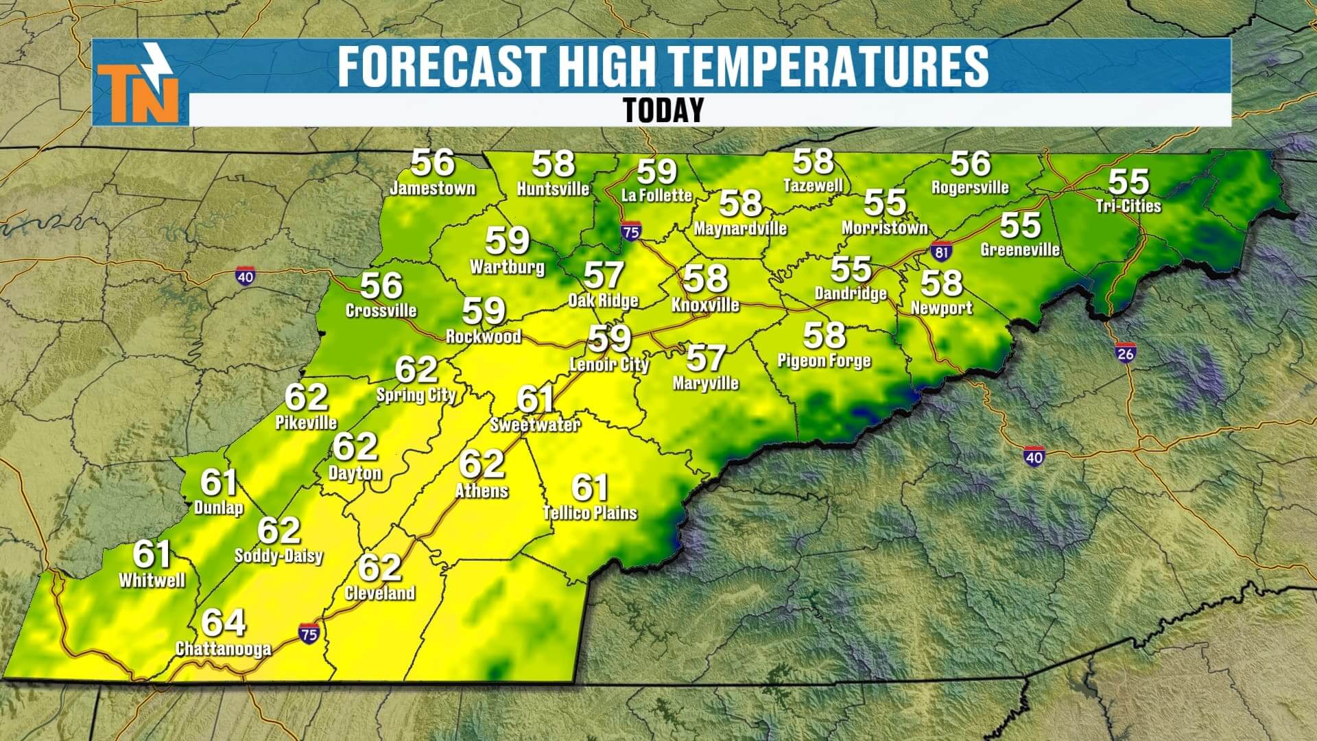
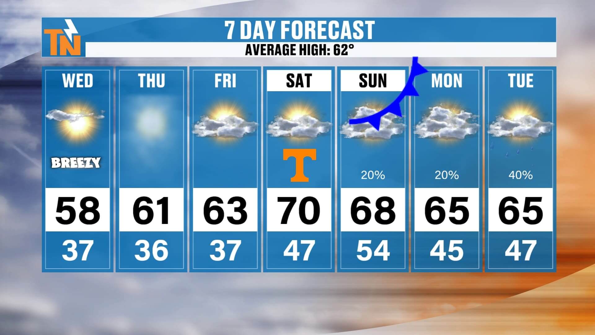
This morning, temperatures are starting off in the 30s and low 40s — a touch warmer than what we saw yesterday — and we’ll warm nicely as the sun climbs higher in the sky. By this afternoon, highs will reach the upper 50s to mid-60s across much of the region. Expect around 67° in Chattanooga, 63° in Knoxville, upper 50s in the Tri-Cities, and low 60s across the Cumberland Plateau from Fentress to Cumberland County. All in all, it’s shaping up to be a solid, seasonable day with plenty of sunshine and a light breeze.
If you’ve got evening plans, grab a light jacket. Temperatures will dip into the mid-50s by 6 p.m. and down to the mid-40s by 10 p.m. It’ll be another cool, comfortable night across East Tennessee — perfect for dinner on the patio or a little early holiday shopping.
By the way, if you ever want to check your daypart forecast hour by hour, the East Tennessee Weather app has you covered with up-to-date temperatures and rain chances every single day.
Now let’s talk about the big picture. High pressure remains firmly in control through the rest of the workweek, keeping skies clear and conditions quiet. Off to our north and northwest, though, another cold front is getting organized over Canada. It doesn’t have a lot of moisture with it, but it will make its presence known as we move into the weekend.
On Saturday, the wind will start to increase, especially during the afternoon. If you’re planning to head out to Neyland Stadium for the big 4:15 p.m. kickoff, you’ll definitely notice that breeze. Temperatures around lunchtime will be in the mid-60s, warming to near 70° by kickoff, and then slipping back into the low 60s once the sun goes down. It’s going to be a great day for football — comfortable, dry, and just breezy enough to feel like fall.
That front slides through on Sunday, bringing an increase in clouds and maybe a few light rain showers, but rainfall totals will be very minimal — generally less than a quarter of an inch across the region. Sunday will feel cooler, but not by much, with highs staying in the 60s. Behind the front, Monday through Wednesday looks fairly quiet with highs in the low to mid-60s and partly sunny skies.
Looking ahead to next week, another weak system may swing through around Tuesday or Wednesday, slightly increasing our rain chances again, but for now, the overall forecast looks dry and mild.
So, to sum it all up — sunshine dominates through Saturday, a few sprinkles possible late Sunday, and comfortable, above-average temperatures stick around into next week.
Enjoy the sunshine and the warmup while it lasts, and don’t forget to check out Witcher’s One Minute Weather on the East Tennessee Weather app for quick, daily updates. Have a fantastic Thursday!